Posts

Showing posts from February, 2024

Thermal Imaging Photography in Drone | construction And Development Services

Image
In the view of experts and enterprises, one of the most important attributes of drones is their versatility. A drone is essentially a moving canvas that can be enhanced with a variety of sensors and data collection equipment, allowing even a single drone to serve several purposes. Thermal imaging photography is still a niche application for drones, given the high cost and technological demands of the hardware. It can, however, be a very lucrative area for a drone pilot to try. What is thermal imaging and what facilities will drone pilots provide with this technology? Applications of drone-based thermal imaging Thermal imaging photography is a highly specialized subset of specialist drone services, but it is still one of the most profitable. Here are some of the most popular uses for drone-based thermal imaging photography to demonstrate how useful it can be. Rescue and search operations One of the most valuable techniques for search and rescue operations is aerial support. This was nor

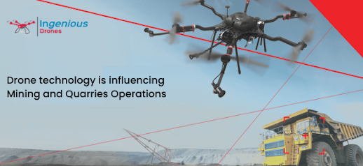
Drone technology is influencing Mining and Quarries Operations | drone sports photography

Image
Drone Videos of Mines and Quarries   allows a professional to get particular Aerial data on mining sites for purposes such as increasing productivity, planning, safety, and inventory management. Drones Mining Surveys are UAVs equipped with RGB cameras that capture images of a location from multiple angles in the mining business. Mining companies can also quickly calculate the exact volume of stockpiles or excavated regions. Safety berm heights; road limits; widths; crests; slope, length, or elevation change are some of the manufacturing data that exploration and mining technology may create. Additionally, artificial intelligence in the software can automatically indicate those that do not meet the criteria or pose a risk to the workers’ safety. Monitoring and tracking: Mining is regarded as one of the most dangerous sectors in which to work. Mining operations expose workers to a variety of hazards, including rock falls, excessive humidity, gas leaks, dust explosions, floods, and other

Commercial Real Estate Aerial Photography & Drone Video

Image
  Commercial real estate   aerial photography   and drone video have become increasingly popular in the real estate industry. These tools provide a unique and captivating perspective that can showcase properties in a way traditional photography cannot. Here are some key points to consider when using aerial photography and drone video for commercial real estate: Capture Property Features: Aerial shots allow you to capture the entire property, highlighting its size, location, and surrounding amenities. Showcase important features such as landscaping, parking lots, and proximity to key landmarks. Create Stunning Visuals: Aerial photography and drone videos can create visually stunning content that attracts potential buyers or tenants. Use different angles and perspectives to showcase the property’s architecture and design. Show Surrounding Area: Highlight the property’s proximity to key locations such as highways, public transportation, shopping canters, and other amenities. Showcase the